View Spread


Maps and New York City
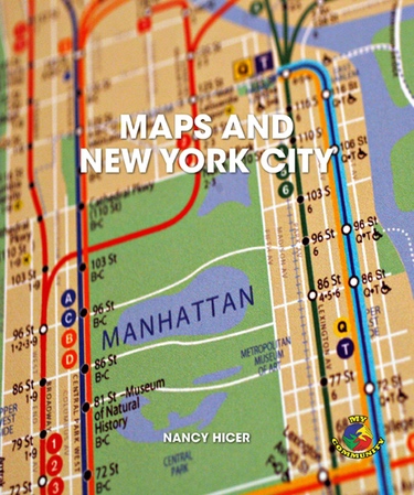
New York City has 24 subway lines that stop at 468 stations. There are 219 bus routes, 2,027 bridges, and countless streets across the five boroughs. This book uses colorful maps and authentic text to engage students in basic map-reading skills, placing city maps in a historical context, with a special emphasis on contemporary transportation maps and GPS devices. Aligned with New York City’s Grade 2 social studies curriculum standard for Unit 1: Our Community’s Geography 3.1b, 3.1c, 3.1d, 3.2b.
RL
Grades
2 IL
Grades
2 GRL
G